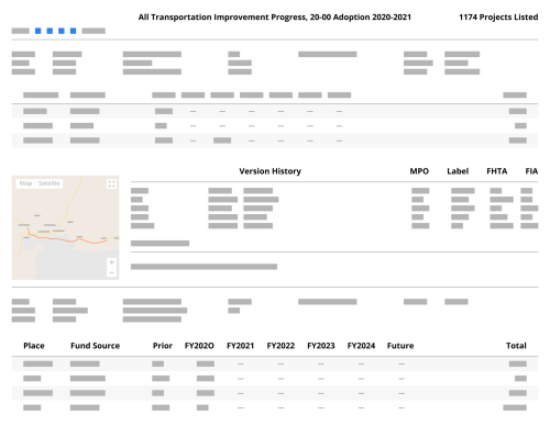
EcoInteractive believes that GIS is a core component of effective transportation planning and programming. A core feature of ProjectTracker is to create an accessible tool that allows users with the most knowledge of projects the ability to identify the appropriate locations, then allow those locations to be used across your technology infrastructure through import/export features or with out of the box integrations.
Import & Export of Shapefiles
ProjectTracker features a shapefile export tool which allows users to easily extract geometries from ProjectTracker on demand. Tied into ProjectTracker’s reporting features, users have access to all available filters to select a subset of locations, or the full set of locations for a plan.
Additionally, administrators have access to a shapefile import tool, allowing them to quickly import existing GIS data for projects already in ProjectTracker.
This is helpful for a number of reasons. If you have a dedicated GIS team, they can manage the project shapefiles if needed and then import them in bulk to ProjectTracker. Additionally, if you’re tracking project geography in ProjectTracker, the data can be export to other systems for further analysis, adding additional data layers, etc.
Automated Integration of Project Geometries
Beyond the ad-hoc import/export capabilities, ProjectTracker can also be set up with a live integration to ArcGIS. This integration allows for either the automated import of project geometries from ArcGIS on a daily basis or the automated export of project geometries from ProjectTracker to ArcGIS on the same frequency.
For groups who do a lot of analysis using GIS data, this is a good option to ensure you’re always working with the most up to date information.
Display Hosted Feature Layers from ESRI
ProjectTracker can be configured to include hosted feature layers from ESRI online to help provide additional context when mapping projects. Information like congressional districts, existing transit lines, other boundary and polygon data that might be useful can be made available to display not only on the portal when mapping projects, but also on the public web site.
Since this is a live view of the data within ESRI, there is no issue of data getting out of sync – as soon as it’s updated in the source, that will be reflected within ProjectTracker as well.
Integration with Linear Referencing Systems (LRS)
ProjectTracker can also be integrated with your existing Linear Referencing System (LRS) network. This approach ensures spatial accuracy by tying projects to the validated network (while still allowing users to create new geometries when needed for new roadways).
Instead of being able to draw points, lines, or polygons on the map directly, users are shown the existing network and able to select the segments where this project will take place.
Beyond ensuring accuracy, this also ensures that all required information is available when submitting an obligation request to Federal Highway as the required attributes can be pulled directly from the LRS based on what has been associated to the project.
One challenge with LRS integration is ensuring that project locations are up to date when the underlying events change within LRS. To overcome this challenge, ProjectTracker keeps track of all changes within the LRS and will alert users when project locations may be out of date so they can be evaluated and updated if needed.
Benefits to Users
Improved Collaboration Between Jurisdictions & Agencies
By allowing project sponsors the ability to map projects which can then be refined by an MPO or DOT through the review process, it’s easier to communicate the location of projects and ensure the accuracy of mapped information.
Simplified Map Creation for Reporting & Public-facing Documents
With ProjectTracker, project maps can be included in printed reports as well as shown automatically on the public website for approved plans or during public comment periods. This saves agencies a lot of time, as it can be a challenge to produce public-facing, user-friendly maps of projects from internal systems.
Increased Transparency & Stakeholder Trust
By making maps available to the public and external stakeholders, everyone is on the same page about where projects are being completed and the impact on their community.
ProjectTracker helps planner make data-driven decisions by incorporating GIS components into the planning and programming process. By allowing interoperability with both ArcGIS and customer LRS networks, it’s easy to ensure the locations of projects are accurate.
With an easy-to-use mapping interface, users are able to collaborate better by allowing project owners to map their locations directly in the application, and maps are automatically shown on the public site once approved, creating an efficient process to promote transparency.
